Buying rural property near Arp can feel exciting right up until one simple question comes up: Where exactly does the land begin and end? If you are looking at acreage, a homesite, or a small farm tract in Smith County, that question matters more than many buyers expect. A survey can help you confirm boundary lines, access, and recorded easements before closing so you can move forward with more confidence. Let’s dive in.
Why surveys matter in Arp
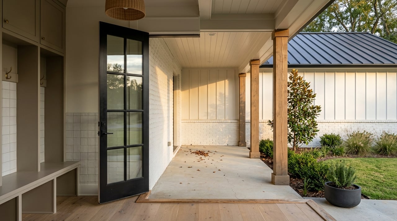
When you buy rural property, you are not just buying a house. You are also buying boundary lines, access routes, and any recorded easements tied to the land. In areas around Arp, even a small mismatch can affect fences, driveways, wells, outbuildings, and how you use the property.
That is why a survey should be viewed as a risk-management tool, not just another closing document. The TREC Farm and Ranch Contract is designed for rural properties and uses metes and bounds descriptions from a survey, which shows how central survey information can be in acreage transactions.
CAD maps are not surveys
A common point of confusion for buyers is the difference between an appraisal map and a true on-the-ground survey. The Smith County Appraisal District clearly states that its maps only show the approximate relative location of property boundaries and do not represent an actual survey.
That means CAD maps can help you get oriented, but they should not be used to settle a boundary question. If you want to know whether a fence, driveway, or structure is actually inside the legal property lines, you need more than a tax map.
County records matter most
For rural buyers in Smith County, the local paper trail matters. The Smith County Clerk is the official record keeper for real property records, so deed research, easement research, and other recorded instruments should come from county records.
In practical terms, this means what you see on the ground is not always the full story. A private road may look established, and a fence may seem permanent, but recorded documents and a current survey are what help confirm how the property is legally described.
Common survey types buyers may hear about
If you are buying land in or around Arp, you may hear several survey-related terms during the transaction. Knowing the basics can make the process feel a lot less intimidating.
Boundary surveys
A boundary survey is the survey most buyers mean when they want to confirm property lines. Texas law centers land surveying on locating real property boundaries, so this is the core tool for understanding where the tract begins and ends.
For many rural buyers, this is the starting point for reviewing fences, access points, and visible improvements against the legal description.
ALTA/NSPS land title surveys
An ALTA/NSPS land title survey is more detailed and title-focused. According to ALTA, revised 2026 standards took effect on February 23, 2026.
Not every rural residential purchase needs this level of survey, but you may hear the term if the transaction is more complex or if title-related details require closer review.
Existing surveys with T-47 or T-47.1
In some Texas transactions, a seller may provide an existing survey along with a T-47 affidavit or the newer T-47.1 declaration. Under current TREC form changes effective January 3, 2025, the parties may agree to use a seller-provided existing survey with T-47 or T-47.1, a buyer-obtained new survey, or a seller-obtained new survey, depending on the contract terms.
However, an older survey is not automatically accepted. If the title company or lender does not accept it, a new survey may still be required.
What T-47 and T-47.1 really mean
A T-47 or T-47.1 can sound like it solves everything, but it is important to understand what these forms do and do not do. The Texas Department of Insurance T-47 form is based on the owner’s knowledge of the property.
It asks whether there have been new structures, changes to boundary fences or walls, nearby construction on adjoining property, or any conveyances, replats, or easement grants since the prior survey. That makes it useful background information, but it is still not the same as a fresh, on-the-ground survey.
The same form also says it is not a warranty or guarantee of where improvements are located. So if you want confidence about exact encroachments or whether visible features match the legal lines, you may still need a new survey.
Rural boundary issues that surprise buyers
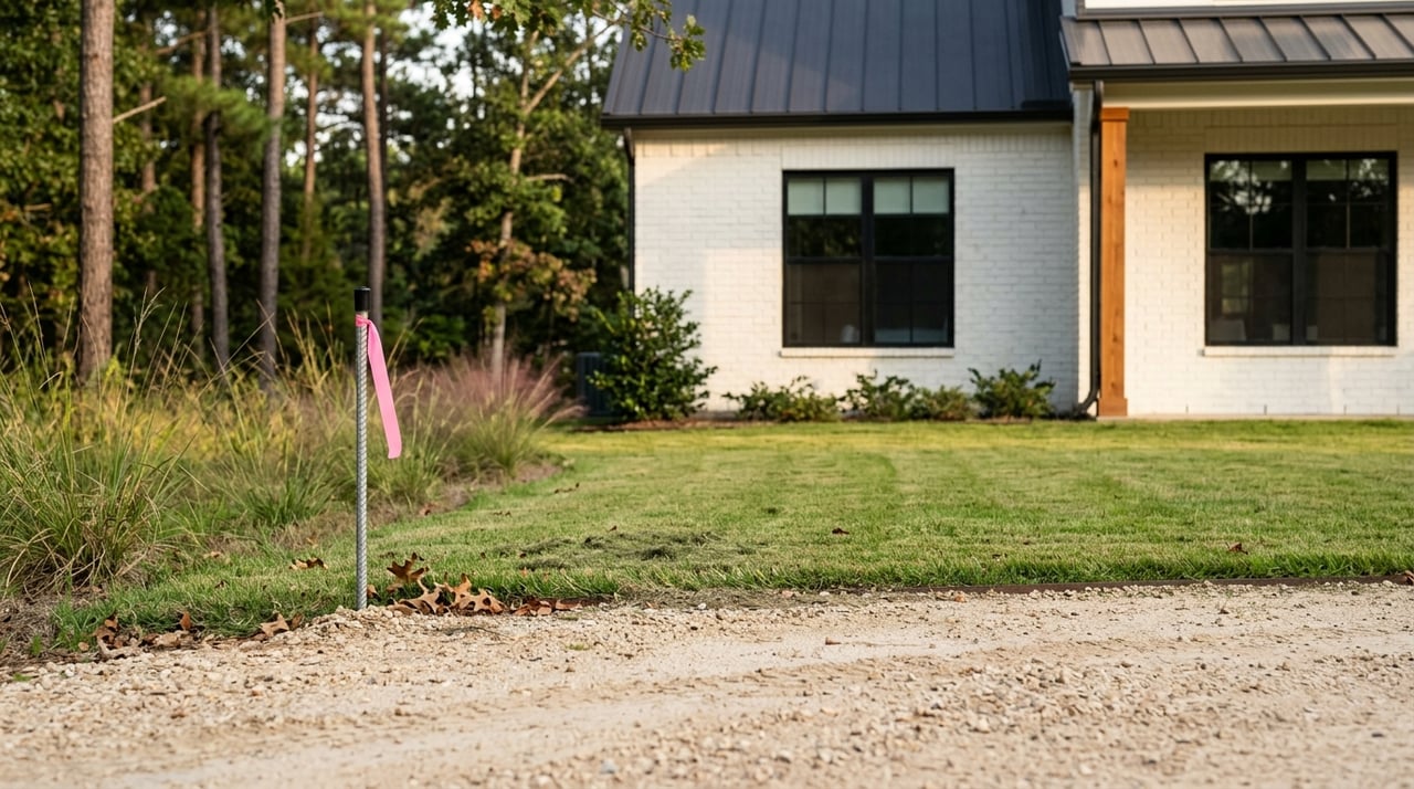
Rural property often comes with details that are not obvious during a showing. A pretty fence line or long-used driveway can create assumptions that do not always match the legal record.
Fence lines may not be the legal line
Many buyers assume the fence marks the boundary. That can be true, but it is not always true.
A 2024 Texas Agriculture Law case summary described a 642-acre tract where a survey using the deed’s metes and bounds found only 599 acres. The takeaway is simple: a long-standing fence can still differ from the actual legal boundary.
Access should be verified, not assumed
Access is another big issue for rural land. A road, lane, or shared driveway may appear to serve a property, but buyers should confirm whether legal access is supported by recorded easements.
Texas Agriculture Law explains that easements can be express, implied, by necessity, or by estoppel. For you as a buyer, that means a route that has been used for years should still be checked against recorded documents rather than assumed to be permanent.
Older surveys may not reflect current conditions
Even if a seller has an existing survey, the property may have changed since it was prepared. New fencing, new buildings, nearby construction, or easement changes can all affect whether that survey still works for the current transaction.
The practical takeaway is that an older survey may still be usable, but only if the title company accepts it and the property has not changed in ways that matter for area-and-boundary coverage.
How surveys fit into a Texas rural transaction
In a Texas transaction, the contract should spell out how survey needs will be handled. Under the updated TREC contract guidance, the parties can agree on whether an existing survey will be used or whether a new one will be obtained by the buyer or seller.
The survey must be prepared by a registered professional land surveyor acceptable to the title company and the buyer’s lender. For rural acreage, that step can be especially important because questions about access, boundaries, and improvements tend to matter more than they do on a standard subdivision lot.
A practical buyer checklist
Before you close on rural property near Arp, it helps to review a few survey-related points carefully.
- Ask whether there is an existing survey and when it was completed.
- Compare the survey to what you see on the property, including fences, driveways, wells, and outbuildings.
- Confirm whether any access roads or shared driveways are backed by recorded easements.
- Review county records, not just appraisal maps, for deeds and recorded instruments.
- Understand whether the title company and lender will accept the existing survey.
- Verify that the surveyor is licensed using the Texas Board of Professional Engineers and Land Surveyors roster.
Why local guidance helps
Rural East Texas properties often have more moving parts than a typical in-town home purchase. Acreage, fences, access, and older land descriptions can all raise questions that deserve close attention before closing.
That is where a responsive local guide can make a real difference. When you are buying around Arp or elsewhere in East Texas, having someone help you spot red flags early, coordinate with the title company, and keep the transaction moving can save time and stress.
If you are preparing to buy rural property and want a clear, practical plan for the process, connect with Brittany Sartain. She can help you navigate East Texas acreage purchases with local insight and personalized support.
FAQs
What does a property survey do for rural buyers in Arp, Texas?
- A property survey helps confirm legal boundary lines, shows how the land is described, and can help you compare deed information, fences, access routes, and recorded easements before closing.
Are Smith County Appraisal District maps enough to confirm property lines?
- No. Smith CAD states that its maps are only approximate and do not represent an on-the-ground survey.
Can a fence line show the true property boundary on East Texas rural land?
- Not always. A fence may follow the legal line, but it can also differ from the deed description, which is why a survey matters.
Can a seller’s old survey be used in a Texas real estate transaction?
- Sometimes. An existing survey may be used with a T-47 or T-47.1 if the title company accepts it and the property has not changed in ways that affect area-and-boundary coverage.
How can buyers verify a Texas land surveyor’s license?
- Buyers can verify a surveyor through the Texas Board of Professional Engineers and Land Surveyors roster.
Why should rural buyers check easements before closing in Smith County?
- Easements can affect access and property use, so buyers should review recorded documents through county records instead of assuming a road or driveway is legally guaranteed.